|
An interactive Geographic Information System (GIS) to show the location of available healthcare and related facilities and the access to services in Patharpratima Block of West Bengal, India.
|
|
This GIS helps in understanding existing gaps especially in maternal and child healthcare services available for the population of Patharpratima block and will be helpful in planning future interventions.
|
|
|
It provides:
|
|
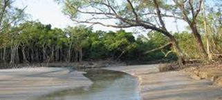
Patharpratima Block falls within the Sundarban and its area is divided over many islands with no transport facility from the main land.


|

|

|
